Pikes Peak Ascent from the Crags Trailhead
August 12, 2006
After losing lots of weight in the last year, and successfully keeping it off, I decided to try the same hike I did in 1994 - a complete 11.5 mile (roundtrip) ascent and descent of Pikes Peak from the Crags campground. I've been walking about three miles every day, and between six and eight miles on weekends, so I figured that I was in as good shape as I have been for a long time. As long as the weather held and I don't twist an ankle, I estimated that I could do the ascent in four hours and then take three more hours to descend. Only two weeks earlier, I tested myself by hiking part way up (to the Devil's Playground), and found the hike surprisingly easy.
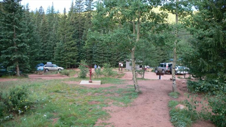
I left the campground at 6:45am, altitude 10,100'. The skies were clear, after a very rainy previous night. There were only a few cars in the parking lot, so the trail would probably be pretty empty.
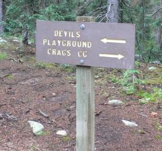
6:50 am. Just a few minutes into the hike, a sign confirms that you are on the right trail. The ground is wet from all the rain, but not slippery.
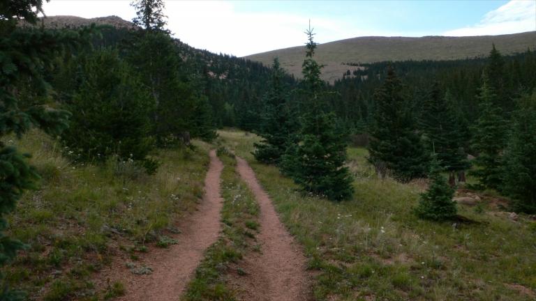
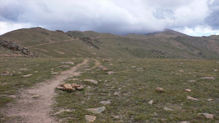
7:14 am, 10,900'. After 30 minutes of strenuous hiking, the trail breaks out into a meadow, following an old truck trail for a short distance. This is a good time to catch your breath, before the trail get really steep.
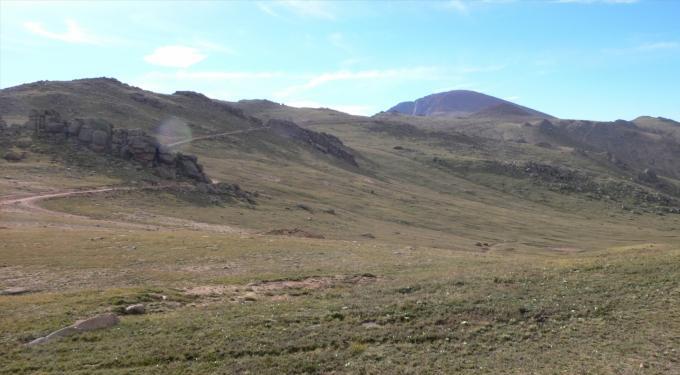
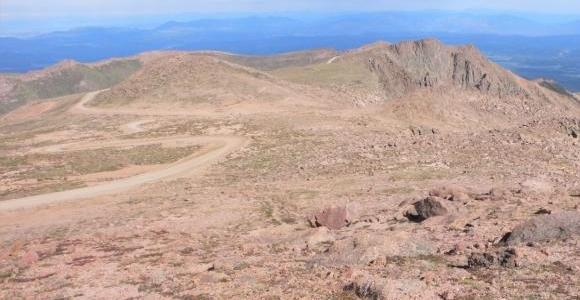
8:17 am. Only 1.5 hours after I started, I am through the toughest part of the hike! From here, the trail is pretty flat for the next few miles. After passing through the Devil's Playground just ahead, the trail gets tough only at the very end. The summit is seen in the distance. So far, I have passed several groups of hikers, including some Air Force junior officers from Canada, temporarily stationed at the Air Force Academy. I just came from San Diego last week, so I am not very acclimated to the high altitude, but so far, I don't have any problem.
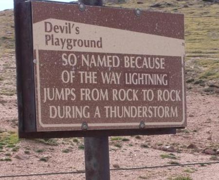
8:31 am. The trail passes near the Pikes Peak Highway, so this sign is not just for hikers! On my 1992 hike, we were trapped in this area under some rocks during an afternoon thunderstorm.
9:27 am. The trail becomes pretty vague after the Devil's Playground area, but now and then there is a well-worm path in the tundra. Even better, there are rock cairns stacked up next to the trail, so that you can see them from a short distance.
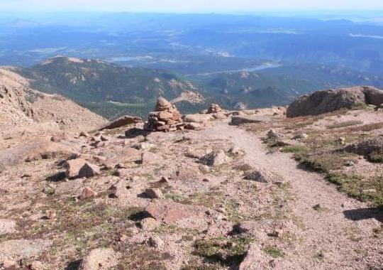
9:27 am. The view back down the trail; I made a mental note so that I could find the trail on the way back down. The altitude here is about 13,000, but it doesn't seem to bother me. I've been monitoring my pulse rate, and it never got more than about 140 bps.
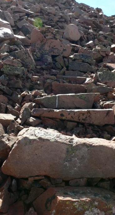
9:44 am. After three hours, the summit is very close. On this final ascent, my worst fears were calmed when I saw the improvements to the trail. Instead of making my way over unstable rocks and risking a twisted ankle, sturdy steps have been built! There were only a few precarious steps, but overall, it was not much more difficult than ascending a very steep staircase.
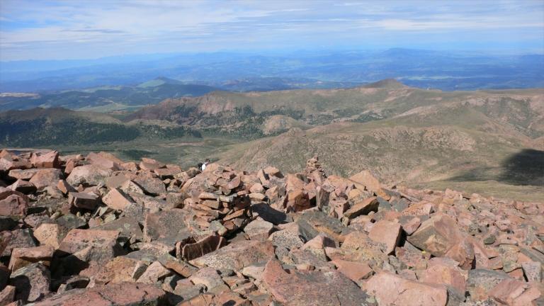
9:48 am. About 15 minutes ago, I passed the last hiker, shown just down the hill behind a rock cairn. This means that instead of being passed up, like in 1992, I was apparently in good enough shape to pass everyone! Losing my extra weight and all that daily exercising has paid off.
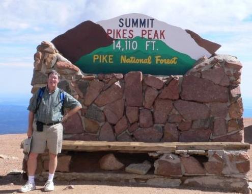
9:59 am. After only 3:10 hiking time, I was on top. It took a few minutes to find someone to take my picture and wait in line at the summit sign. The sun was still shining, and the weather was great. I went inside the summit house for a few famous high-altitude donuts, and refill my water bottle. After six miles and three hours of strenuous hiking, I drank only 1/2 liter of water - it was cool enough that I didn't seem to need more. On the way down, I only drank half that amount. I spent about 30 minutes on top, resting for a bit, but I seemed to have enough adrenaline that I didn't need even that much rest. I was thinking that I had so much energy left over, that I could have done the hike in much less than three hours. I was also feeling good enough that I was tentatively planning on hiking to the Crags outcroppings (another four mile hike) once I returned to the trailhead, since I seemed to have plenty of time. Now, I think the 14,115' altitude was affecting my thinking! (note the sign posts the historic altitude of the summit; more recent surveys indicate an altitude about 5' higher.)
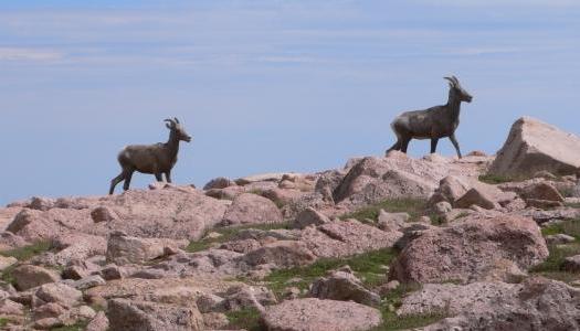
10:48 am. Shortly after leaving the steep summit and back into the tundra, I was surprised by a pair of Rocky Mountain Bighorn ewes that crossed just in front of me. Around here, I passed by a few groups of hikers still going up, including the Air Force officers. I hope they made it!
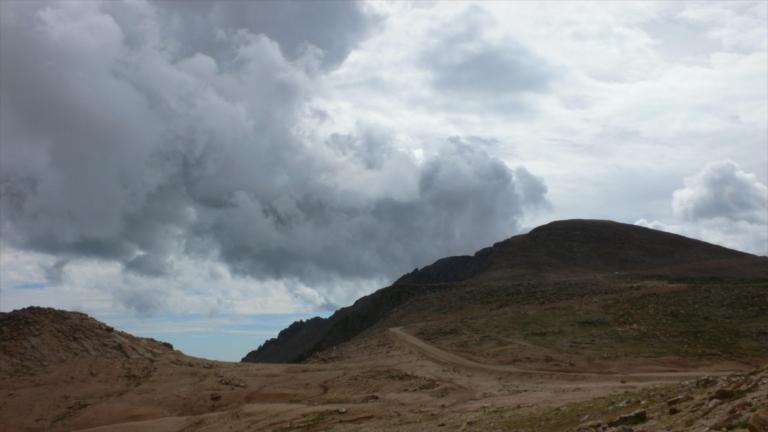
10:59 am. Back toward the Devil's Playground, the weather started to look threatening. While I was now on the relatively smooth trail, I started jogging down.
11:37 am. On the way down, this is the last view of the summit, at almost the same location as the 8:17 am photo. There were a few more groups of hikers near here on the way up, who indicated that they still wanted to get to the top. Now in clouds, I assume that they got wet. I jogged down much of this part of the trail, since I still had lots of energy and it was slightly downhill. Just after this section, the trail gets very steep again, and I had to use extra care to prevent any accident. I only slipped one time, on a very steep slope, and was able to catch myself on my hands without breaking my skin.
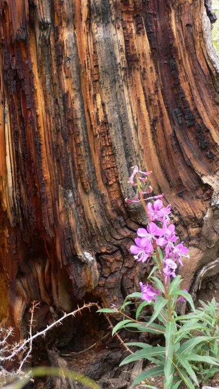
12:28 p.m. Near the bottom of the trail, there were a number of interesting flowers with unusually colorful backgrounds. About this time, my feet were getting pretty sore (my shoe cushions were getting worn out from the many miles over the months), so I decided that plans for an extra four mile hike to the Crags were, in fact, a result of high-altitude oxygen deprivation! The weather did hold up for me, so it was a great hike. I reached the trailhead at 12:52 p.m., only six hours after I left, in exactly half the time of my 1992 hike. At about 1:30, on the road back to Colorado Springs, it started sprinkling. There were a few short downpours in the next hour, so I am glad that I completed the hike early. Next year, maybe an attempt at Long Peak, if my weight is still under control!
All text and images are copyrighted by Stellar Products, 1992-2006. Any use by others without permission of Stellar Products is prohibited.
Links to other Stellar Products pages:
Stellar Products Home