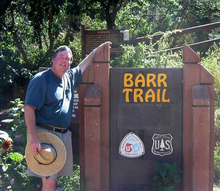
August 6, 2005
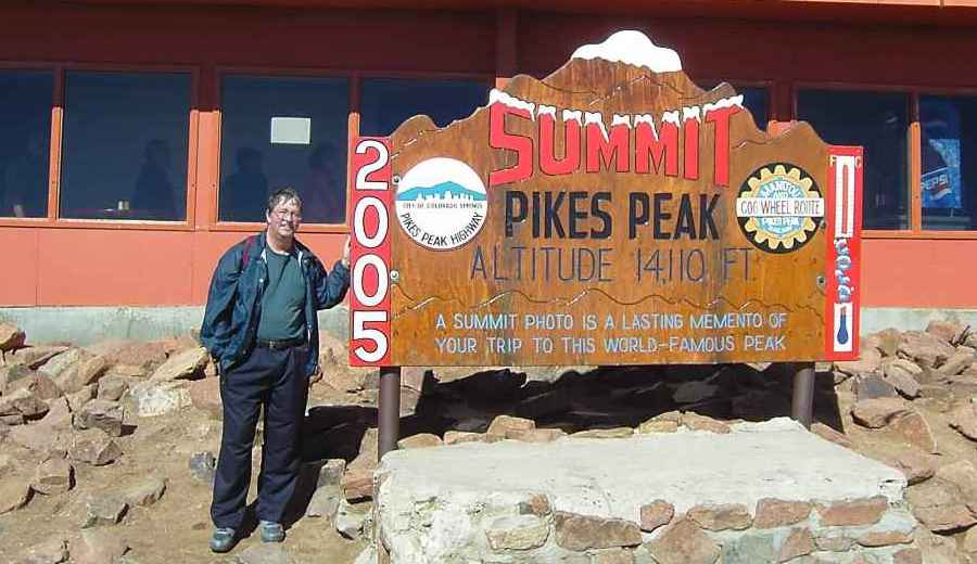
On a clear, cool day, after taking the Pikes Peak Cog Train to the summit, we committed to the 13 mile hike down Pikes Peak by notifying the train conductor that we would not show up for the return trip. I've been taking regular 6- to 8-mile hikes over hilly terrain at sea level near San Diego, so I knew that my feet and legs could complete the journey. Since we would be going downhill, the exercise part seemed trivial compared to the beating that our calve muscles would be endure. Time at the start was 9:25 am.
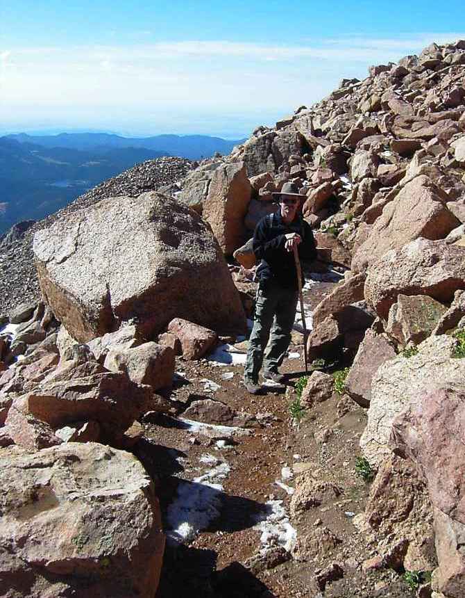
Steve Lang was well-prepared with hiking boots, hat, and walking stick, but this was his first walk over five miles since our last hike at the Grand Canyon in 2002. There was a little hail and water on the ground from the recent storms, but the trail was clear.
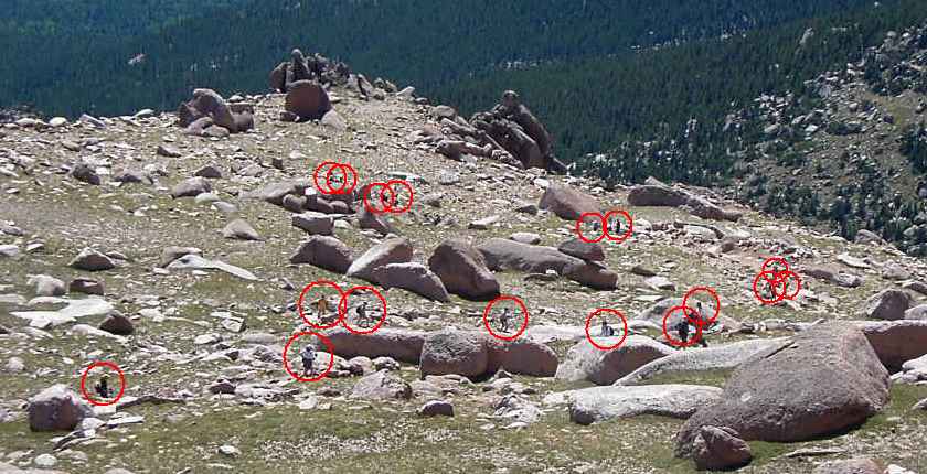
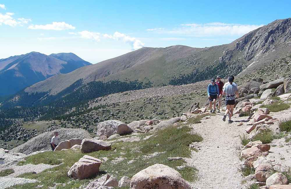
The Pikes Peak Marathon was scheduled to run in two weeks, so there were lots of people practicing on the trail. I counted 17 runners and hikers in this view at 10:30 am. Some of the people here were actually hikers who must have started before sunrise, while others had already been to the summit and were running down. Until about noon, we were continually stepping aside to let the runners pass.
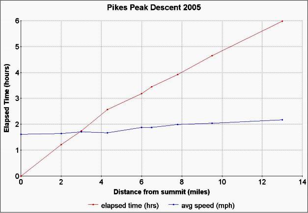
There were signs every mile or two, and from the time the pictures were taken, I could calculate our average speed down the trail. The plot is at the end of this page.
The end of the trail appears pretty far in the distance, at the bottom of the front range. We are committed to the entire hike, the views are fabulous, and our bodies are not yet giving us any negative feedback.
The small peak directly ahead is Satchett Peak, where, with the proper US Forest Service Permits, I installed an anemometer in 1992. The wind speed was sent over an optical link to my home about 10 miles away, in my first remote optical link experiment. The anemometer was solar powered, but the cables did not survive more than a few months, the victims of mountain rodents, probably. I've saved all the pieces for my personal museum. The paper describing the remote anemometer was scheduled for publication in "The Amateur Scientist" column in Scientific American magazine, but was pulled when a new editor took over the magazine.
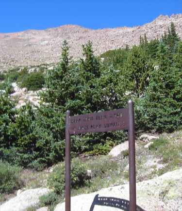
Just below timberline, the distance covered is only 3 miles.
There are lots of side trails leading from the summit route, but those will be saved for another time.
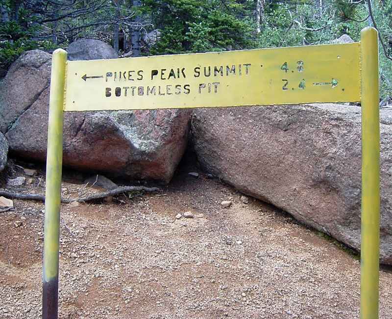
Almost halfway down after three hours. The Oil Creek Tunnel is a wonderful destination, also accessed from a shorter hike starting from the Pikes Peak Highway. It is probably my favorite hike, and never very crowded.
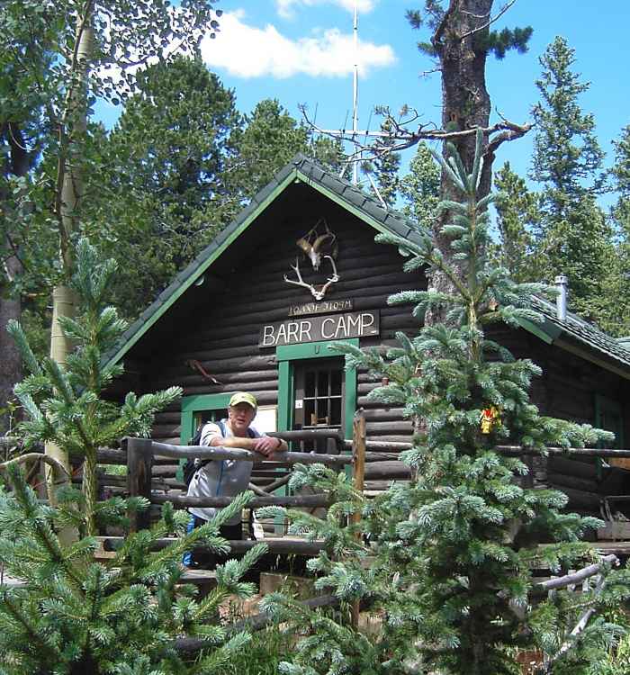
Barr Camp is named after the original trail builder, and offers Spartan overnight accommodations to hikers.
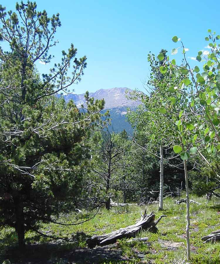
Not far below Barr Camp is the only area where the summit is visible. For ascending hikers, it gives them a chance to see how much elevation and distance is still remaining. For us, it showed how far we had already come.
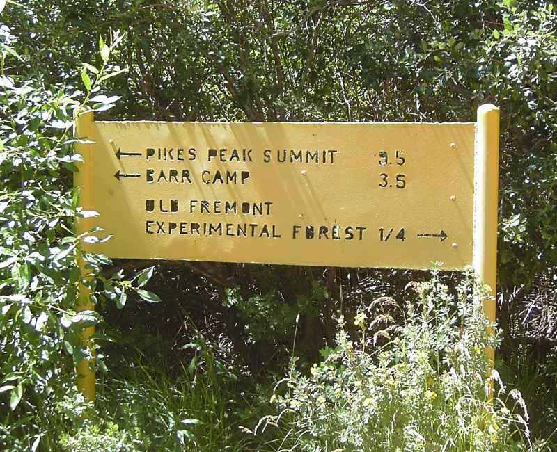
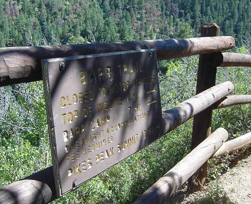
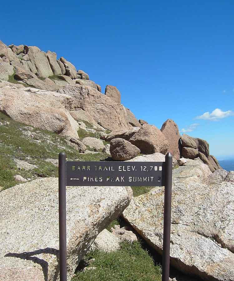
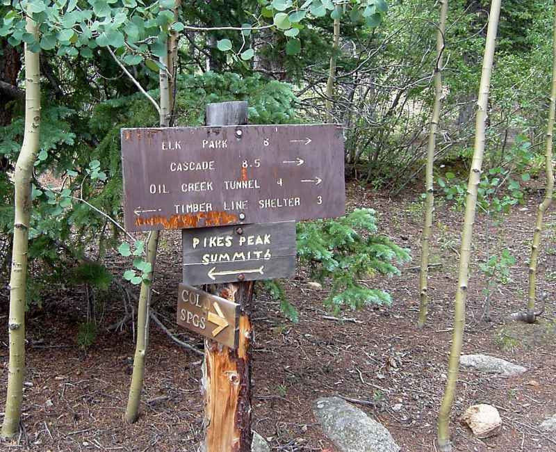
The Manitou Incline (taken out of operation in the late 1980s) provided a popular short cut, cutting off several miles from the summit hike. This sign is near the original summit.
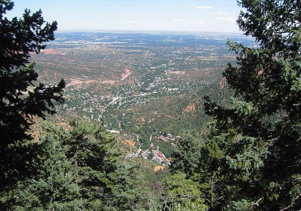
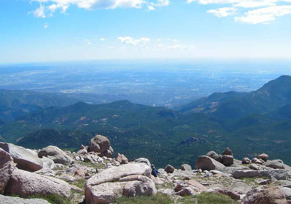
Only a few miles to go; the cog train depot is visible as the red-roofed building at the bottom. Unfortunately, one-way trips are not allowed to park there, since spaces are limited. We parked about a mile further down toward the city center, making the total downhill hike about 14 miles.